.

CAPE CANAVERAL — A highly sophisticated U.S. Air Force satellite to sound the alarm when an enemy missile launches has shipped to its Florida launch site for liftoff in October aboard a United Launch Alliance Atlas 5 rocket.
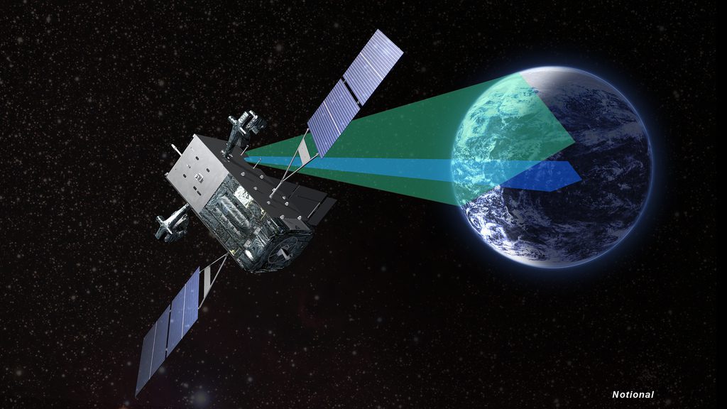
The third Space Based Infrared System Geosynchronous satellite, or SBIRS GEO Flight 3, was delivered from Lockheed Martin’s Sunnyvale production factory in California to Cape Canaveral aboard a military C-5 transport aircraft on Aug. 2.
Its primary mission — and most dire use — would be warning the president and secretary of defense of an incoming attack on the United States homeland.
“SBIRS GEO satellites are our nation’s missile warning sentinels and are critical assets to the U.S. military’s continually evolving mission,” said David Sheridan, vice president of Lockheed Martin’s Overhead Persistent Infrared systems mission area.
“With GEO Flight 3’s successful testing and delivery to the launch site, we’re expanding the military’s ability to receive timely, reliable and accurate missile warning and infrared surveillance information.”
The craft will be carried into space by an Atlas 5 rocket on Oct. 3.
The launch will use the basic 401 configuration of the Atlas 5 with a four-meter nose cone and no strap-on solid rocket boosters.
SBIRS is the next-generation missile warning system for the United States that continuously watches the globe with infrared vision looking for missile launches and alerting forces of the imminent threat.
The surveillance network was born in the Cold War and modernized to face today’s adversaries. The satellites detect heat plumes, the telltale indicator of ascending missiles and boosters, and track their trajectories.
SBIRS GEO Flight 3, weighing about 10,000 pounds at launch, will be deployed into a geosynchronous transfer orbit by the Atlas 5. It then maneuvers itself in the subsequent days to a circular orbit 22,300 miles above Earth to match the planet’s rotation and appear fixed above one spot of the globe.
Which region of the world this satellite will observe has not been revealed.

The first SBIRS GEO satellite was launched in May 2011 and the second went up in March 2013, both aboard Atlas 5 rockets from Cape Canaveral.
They possess upgrades from previous missile warning satellites to make quicker detections of fainter objects than ever before. They also carry an additional onboard telescope to stare at a specific spot on the globe, in addition to the wide-area scanning sensor.
Originally devised to spot intercontinental ballistic missiles launched at the U.S., the system has evolved to today’s capabilities that also cover short-range missiles and threats facing troops on the modern day battlefield.
Once the system detects a target, it determines the flight trajectory and where a hostile missile will hit, giving warfighters the necessary alert to intercept the weapon as part of the OODA loop (Observe, Orient, Decide and Act).
Launches of these surveillance satellites date back to 1970 and the Defense Support Program. The last DSP satellite was launched in 2007 in the transition to SBIRS.
SBIRS GEO Flight 3 will fly aboard AV-066, the 67th Atlas 5 rocket launch and its 26th mission for the Department of Defense.
Quelle: SN
It will also mark the milestone 100th Evolved Expendable Launch Vehicle flight between the Atlas 5 and Delta 4.
