28.09.2021

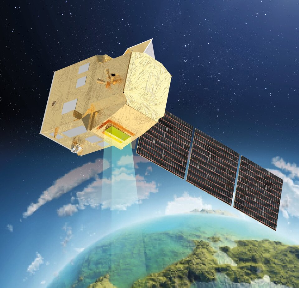
With Covid restrictions a little more relaxed, scientists from Europe and the USA were finally able to team up for a long-awaited field experiment to ensure that a new Copernicus satellite called CHIME will deliver the best possible data products as soon as it is operational in orbit. This new mission is being developed to support EU policies on the management of natural resources, ultimately helping to address the global issue of food security.
The Copernicus Hyperspectral Imaging Mission for the Environment, or CHIME for short, is one of six new missions that the EU and ESA are developing to expand the current suite of Copernicus Sentinels. Data from the Sentinels feed into a range of Copernicus services that address challenges such as urbanisation, food security, rising sea levels, diminishing polar ice, natural disasters, and climate change.
The six Copernicus Sentinel Expansion missions will add to the present capabilities of the Sentinels to further address EU policy priorities and gaps in Copernicus user needs.

Carrying a novel imaging spectrometer, the CHIME mission will provide systematic hyperspectral images to map changes in land cover and help sustainable agricultural practices. It will also be used to detect different soil properties for action on improving soil health. In addition, CHIME will be used to support forest management and assessments on biodiversity, ecosystem sustainability and environmental degradation, and to monitor lake and coastal ecosystems including water quality.
To best prepare CHIME for its tasks in ahead, and as part of a cooperation between ESA and NASA’s Jet Propulsion Laboratory (JPL), scientists joined forces recently for the Hypersense experiment campaign, which was supposed to take place in 2020 but Covid restrictions meant it had to be delayed.
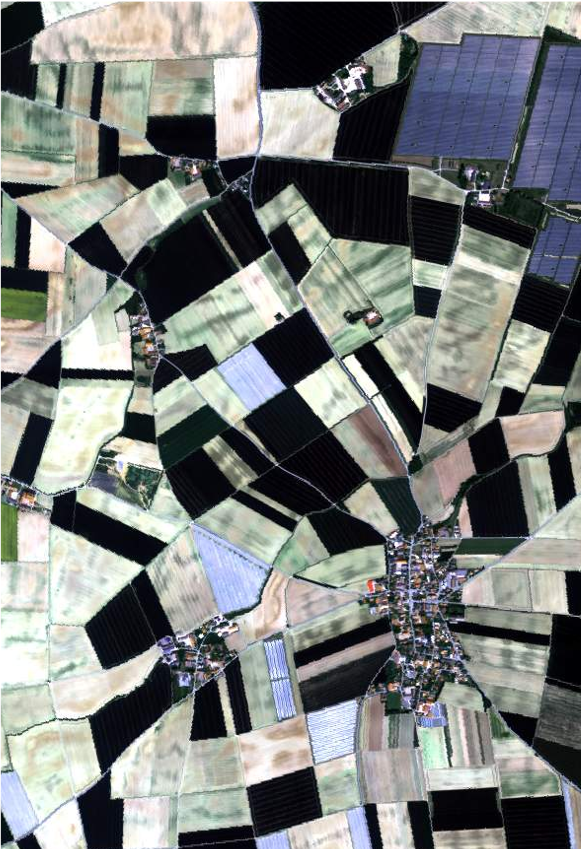
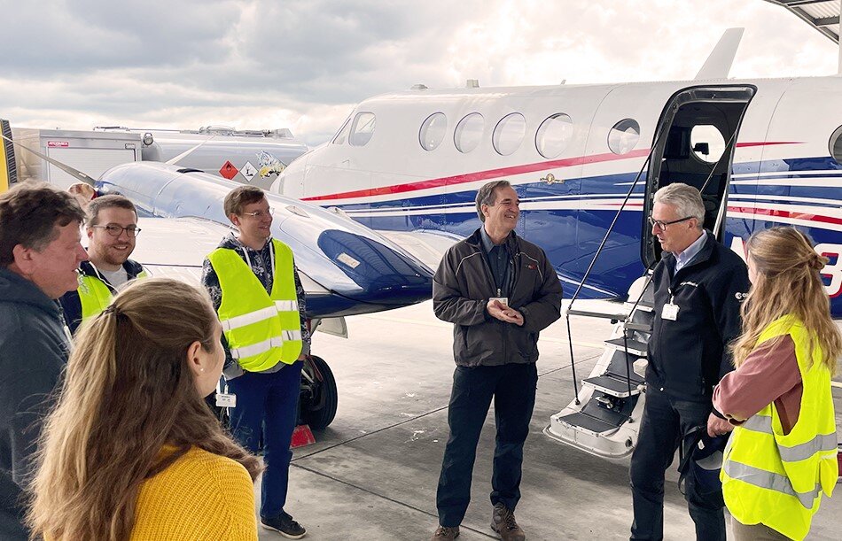
The campaign, which is being managed by the University of Zurich, firstly involved bringing an aircraft and JPL’s measuring instrument from the USA to the Dübendorf airbase near Zurich in Switzerland. The Next Generation Airborne Visible Infrared Imaging Spectrometer, AVIRIS, instrument resembles the capabilities that CHIME will have once in orbit.
Measurements taken with AVIRIS over more than 20 test sites that represent different types of ecosystems are helping scientists and engineers prepare for and ensure that CHIME will be able to take up duty delivering high-quality diagnostic and quantitative data as soon it is in orbit and operational.

Most of these flights coincided with measurements taken on the ground to further help evaluate the data collected by the airborne instrument.
As part of this airborne and field campaign, a cooperation was also set up with the Italian Space Agency, ASI, to observe the test sites from space with their satellite imaging spectrometer called PRISMA. In addition, the German Aerospace Center, DLR, provided hyperspectral images from its DESIS sensor, an imaging spectrometer that looks down on Earth from the International Space Station.
The resulting datasets will include contemporaneous ground, airborne and spaceborne observations for an improved diagnostic and quantitative analysis of these imaging spectrometer ‘fingerprint’ data, which result from observing the target by means of contiguous spectral bands between the blue and the shortwave infrared (400–2500 nm).
Michael Rast, ESA’s mission scientist for CHIME, said, “The datasets will help us establish and evaluate future CHIME data products including specific agriculture vegetation components such as chlorophyll and nitrogen and quantify carbon content in soils, thus supporting the improvement of agricultural practices and management.”
The cooperation with NASA, under which this campaign is being carried out, also includes harmonised preparation between CHIME and NASA’s Surface Biology Geology mission, which has similar spectrometer observation characteristics as CHIME. Both missions are slated for launch in the second half of this decade.

Robert O. Green, AVIRIS-NG Principal Investigator, said, “This was a challenging campaign from a Covid and weather perspective, yet the team persevered and collected an extraordinary group of imaging spectroscopy data sets to support both the CHIME and NASA’s Surface Biology Geology future missions for the benefit of our planet.”
“With food security a global issue, it’s vital that space agencies collaborate so that we can tap into our relative expertise and assets for the best outcomes. In this case, we have ESA, NASA, ASI and DLR all working together along with high-ranking scientists form across Europe, the USA, Israel and Australia – which is absolutely fabulous,” added Dr Rast.
Quelle: ESA
